with breakfast
GUARANTEED
best price when
booking directly
Hiking Trail 'Dolorama' – a unique hiking experience in the Dolomites
Hiking Trail 'Dolorama' – a unique hiking experience in the Dolomites
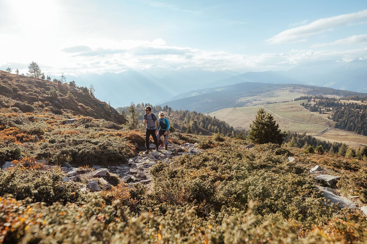
Our hotel offers the ideal starting point for the popular hiking trail ‘Dolorama’. Thanks to the Almencard, which is included for our guests, you may take the bus to Alpe di Rodengo free of charge, from where your hike begins. The Dolorama trail is almost 61 kilometers long, and it is divided into 4 stages with a total walking time of approx. 20 hours. What is so special about this hiking trail? It’s definitely the consistently breathtaking view of the Dolomites, the tranquility in the heart of untouched nature and the fantastically beautiful landscape. You may also find many places to rest on this very well laid out hiking trail, so you may enjoy the beauty of the majestic mountains.
Hiking Map "Dolorama Trail"
The 4 stages of the Dolorama Trail
Dolorama - Stage 1: Rodenecker Alm
Via Alpe di Rodengo & Luson to the alpine lodge Maurerberghütte
Route: 20 km | Ascent: 941 altitude meters | Descent: 556 altitude meters | Duration: approx. 6.5 h
The first stage begins at the Rodenecker Alm (1,800 m), a popular hiking destination with extensive alpine pastures and breathtaking vistas. The trail leads past the Almhotel Runa and the lodge Starkenfeldhütte over the peak Astjoch (2,194 m), the highest summit of this stage. From here you may enjoy the panoramic views of the Dolomites, Zillertal Alps, and Sarntal Alps. The trail leads across the wide alpine meadows of the Lüsner Alm and ends after around 20 km and 900 meters of altitude difference at the lodge Maurerberghütte, which is located at an altitude of 2,157 m. Here you may admire the splendid view of the Peitlerkofel peak.
Dolorama - Stage 2: Lüsen and Val Badia
Around Sas de Putia, Badia Valley, alpine lodge Schlüterhütte
Route: 15 km | Ascent: 718 altitude meters | Descent: 534 altitude meters | Duration: approx. 4.5 h
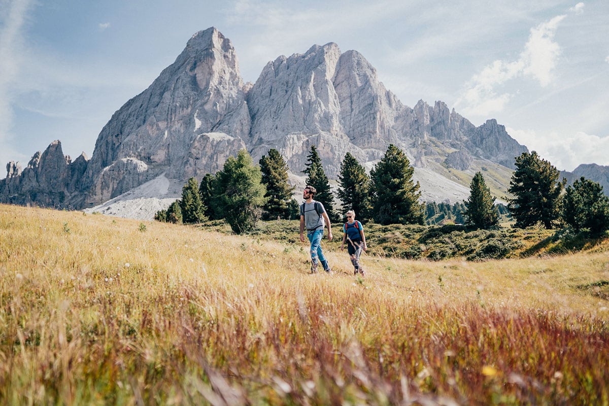
The second stage leads first over the gentle slopes of the Maurer Alm and towards the imposing Peitlerkofel. At Würzjoch (2,000 m) you may enjoy a striking view of the Peitlerkofel, which stands out prominently from the surrounding landscape. From here, the section through the UNESCO World Heritage Site of the Dolomites begins. By circling the Peitlerkofel, you will reach the lodge Schlüterhütte (2,301 m) after about 15 km. The views of the Heiligkreuzkofel and the Fanes Group are particularly spectacular here.
Dolorama - Stage 3: Villnöss
In the Nature Park Puez Odle to the alpine lodge Raschötzhütte
Route: 16 km | Ascent: 664 altitude meters | Descent: 808 altitude meters | Duration: approx. 5 h
From the lodge Schlüterhütte, the trail leads through the natural paradise of the Nature Park Puez-Geisler. The trail moves over the Gampenalm to the Adolf-Munkel path, then on to the Gschnagenhardt-Alm and the Brogles-Alm. The entire trail at the foot of the rocky mountains is characterized by impressive views of the famous Villnösser Geisler. It continues over the Brogles Sattel to Inner- and Außerraschötz, ending at the Dolorama stage destination at the lodge Raschötzhütte at an altitude of 2,170 m.

Dolorama - Stage 4: Val Gardena and Lajen
Außerraschötz Peak across forests to Laion
Route: 10 km | Ascent: 33 altitude meters | Descent: 1106 altitude meters | Duration: approx. 3 h
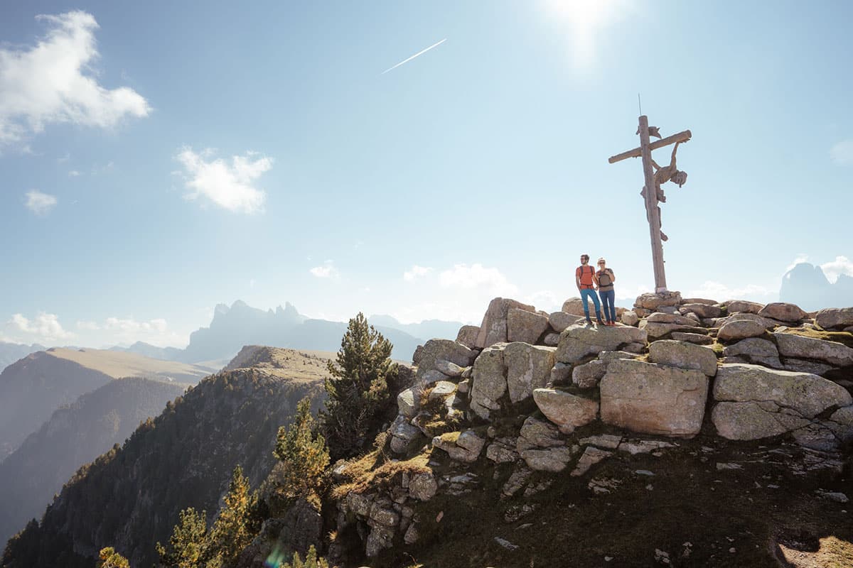
The fourth stage of the Dolorama Trail takes you to the summit Außerraschötz (2,281 m), where you may enjoy a spectacular panoramic view. The view of the Sasso Lungo Group in Val Gardena is also striking. The trail continues past the Heiligkreuz Chapel and further north to the Tschatterlin Sattel (1,870 m). Via the Ramitzler Schwaige and the lodge Unterpulghütte, it finally winds down through forests and fields to the village of Lajen (1,093 m), where this panoramic hike in the Dolomites ends after a total of 60 km.